Britain has seen its chilliest night since March, with a cold snap following Storm Claudia’s flooding.
A temperature of -7C was recorded in Tulloch Bridge in the Highlands on Saturday night – the lowest since 20 March, the Met Office said.
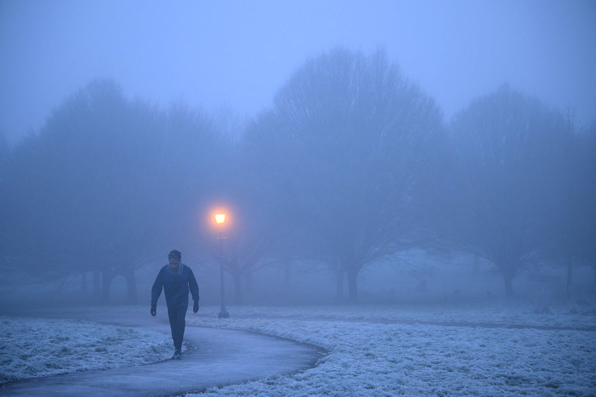
A 5C drop will see highs plunge to 11C on Sunday, becoming colder as the week goes on.
Snow and ice are possible after a spell of above-average temperatures, forecasters warn.
“As Storm Claudia retreats to the south, high pressure to the north-west will drive a cold northerly flow from the Arctic across the UK,” Met Office deputy chief meteorologist Dan Holley said.
“This will bring much colder conditions than of late and, whilst generally drier than recent days, there will also be a risk of wintry hazards, such as snow and ice.
“This will be a notable change in our weather after a prolonged spell of above-average temperatures.”
A major incident was declared in Monmouth, south-east Wales, over the weekend, and people were rescued or evacuated from homes that were flooded in Friday’s torrential rain.
Natural Resources Wales (NRW) had imposed four severe flood warnings amid fears there may be danger to life, while there were 45 flood warnings in England.
Some 119.6mm of rainfall was recorded at an NRW rain gauge at Tafalog in Gwent, south-east Wales, in the 12 hours to 6am on Saturday while 80.6mm was recorded over the same period at Suckley, Worcestershire.
The UK Health Security Agency has issued a cold weather warning for parts of the Midlands and northern England from Monday, and the Environment Agency has warned flooding will continue throughout the weekend.
The cold weather alert is in place from 8am on Monday until 8am next Friday and covers the East Midlands, West Midlands, North East, North West and Yorkshire and the Humber.
