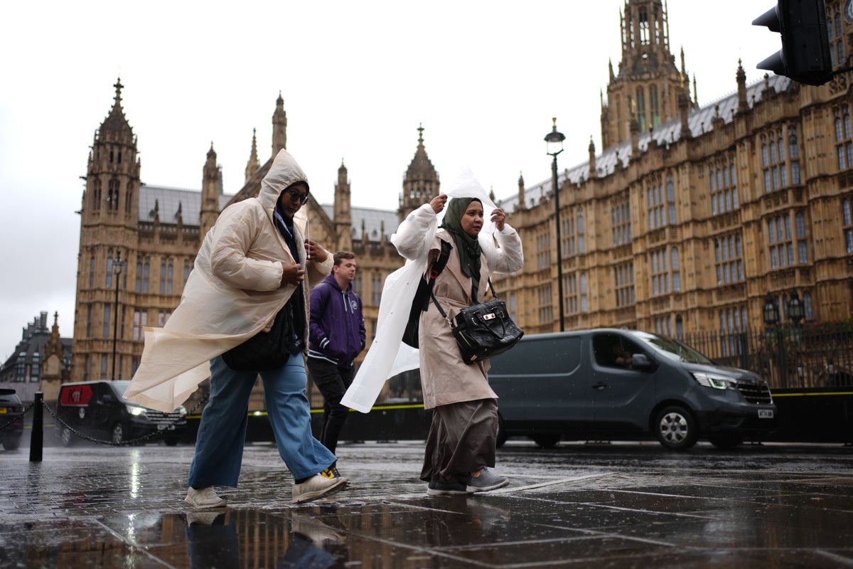
Yellow weather warnings have been issued as parts of the UK may be drenched in heavy downpours over the coming days, the Met Office said.
Wet and windy conditions are set to continue with alerts for rain put in place for parts of Wales on Wednesday.
It comes after windy weather swept across the country and gusts of up to 80mph were recorded by the Met Office overnight on Sunday.
Forecasters have warned that up to 60mm of rain may fall within six hours in one warning area, which covers north-west Wales including Ceredigion, Conwy, Gwynedd and Powys from from 3am to 12pm on Wednesday.
The second warning, which is in place from 6am to 11pm on Wednesday, covers south and south-west Wales where up to 70mm of rainfall is expected largely on south-west hills with up to 40mm elsewhere, the Met Office said.
Areas affected include Swansea, Carmarthen and parts of Cardiff.
Flooding of some homes and businesses is possible within those regions, as well as some disruption to public transport and a chance of interruption to power supplies, the weather service added.
In an online forecast, Met Office meteorologist Alex Deakin said the outlook for Tuesday was “a lot calmer” compared to Monday’s breezy conditions but “more wet and windy weather” was expected across the country on Tuesday evening.
Some “scattered showers” are forecast for Wales, South West England and northern Scotland in the afternoon, while much of eastern Scotland and central and eastern England will see a “dry and fine” day, Mr Deakin added.
Highs of around 19C are expected in London, 16C in Manchester and 15C in Glasgow.
Mr Deakin said of Tuesday’s forecast: “The wind’s a lot lighter than yesterday as well and with the help of a bit of sunshine, that will make it feel a little warmer, 19, maybe 20 degrees across the South East, generally 16, 17, 18, so about average for the time of year.
“But as I mentioned, more wet and windy weather is on the way.
“Things are clouding over this afternoon for South Wales, South West England, rain edging in here through the evening, rush hour and that rain spreads to most of Wales and Northern Ireland.
“Before midnight, some heavy outbreaks as well, particularly for Wales and Northern England through the early hours.”
He added: “Northern Scotland may stay largely dry, and as the winds ease, we could see those temperatures again, dipping down into single digits, but for most, as the wet and windy weather moves in, it will actually turn mild through the night as we start Wednesday morning, 13, 14 degrees along the south coast.”
Rain is expected on Wednesday morning, with the heaviest showers expected in parts of Wales, the Midlands and northern England, the forecaster said.
South East England may not see much rainfall, while southern Scotland, Northern Ireland and northern England should be brighter with some sunny spells throughout the day and highs of 22C possible in eastern areas, he added.
Met Office spokeswoman Andrea Bishop said: “The rest of the week continues on an unsettled note, with the potential for some quite heavy and prolonged rain, along with strong winds in places, over the weekend.”
