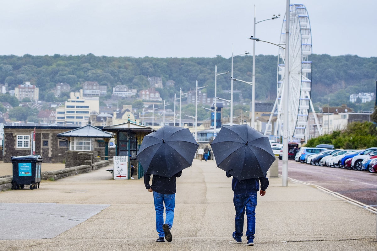
Thunderstorms could bring further rain and flooding to parts of the country on Thursday, after the wettest week in England for seven months.
A yellow warning for storms runs until 5pm, affecting much of northern England, the Midlands and parts of Wales, the Met Office said.
While most areas are likely to escape the thunder and heavy downpours, some places could see 30-60mm rain in an hour.
Nine flood alerts were in place as of lunchtime, mostly for locations near parts of the River Trent and River Tame in the West Midlands, meaning flooding is possible.
It comes after England experienced its wettest week for seven months, according to the Environment Agency.
There have been “notable” amounts of rainfall, particularly in the North West, South East and South West, all of which received more than 35mm of rain between August 27 and September 2.
Rivers levels have increased at nearly all the sites monitored by the agency, although just over a third (35%) were classed as being below normal for this time of year.
Despite the recent showers, total rainfall in England in August was only 42% of the long-term average.
Long spells of dry and hot weather over the past few months have taken their toll on the environment and agriculture, leading to hosepipe bans, drought orders, poor harvests and low water levels in reservoirs.
Both spring and summer 2025 were the UK’s warmest on record, while spring was the second driest for England since Met Office rainfall data began in 1836.
Stephen Dixon, a Met Office spokesman, said: “Some heavy and at times thundery rain is moving gradually north east today, with the potential to bring some impacts for some.
“There’s a yellow warning for thunderstorms in force until 5pm today and the warning covers much of Wales as well as northern and central parts of England.
“While not everyone will see the highest totals in the warning area, some could see 30-60mm of rain in an hour with hail and lightning additional hazards for some.
“The warning highlights potential difficult travel conditions, as well as the possibility of some flooding in some spots.”
Drivers are urged to check road conditions and change travel plans if necessary, while homeowners are asked to secure moveable objects such as bins, fences and garden furniture to avoid possible injury.
