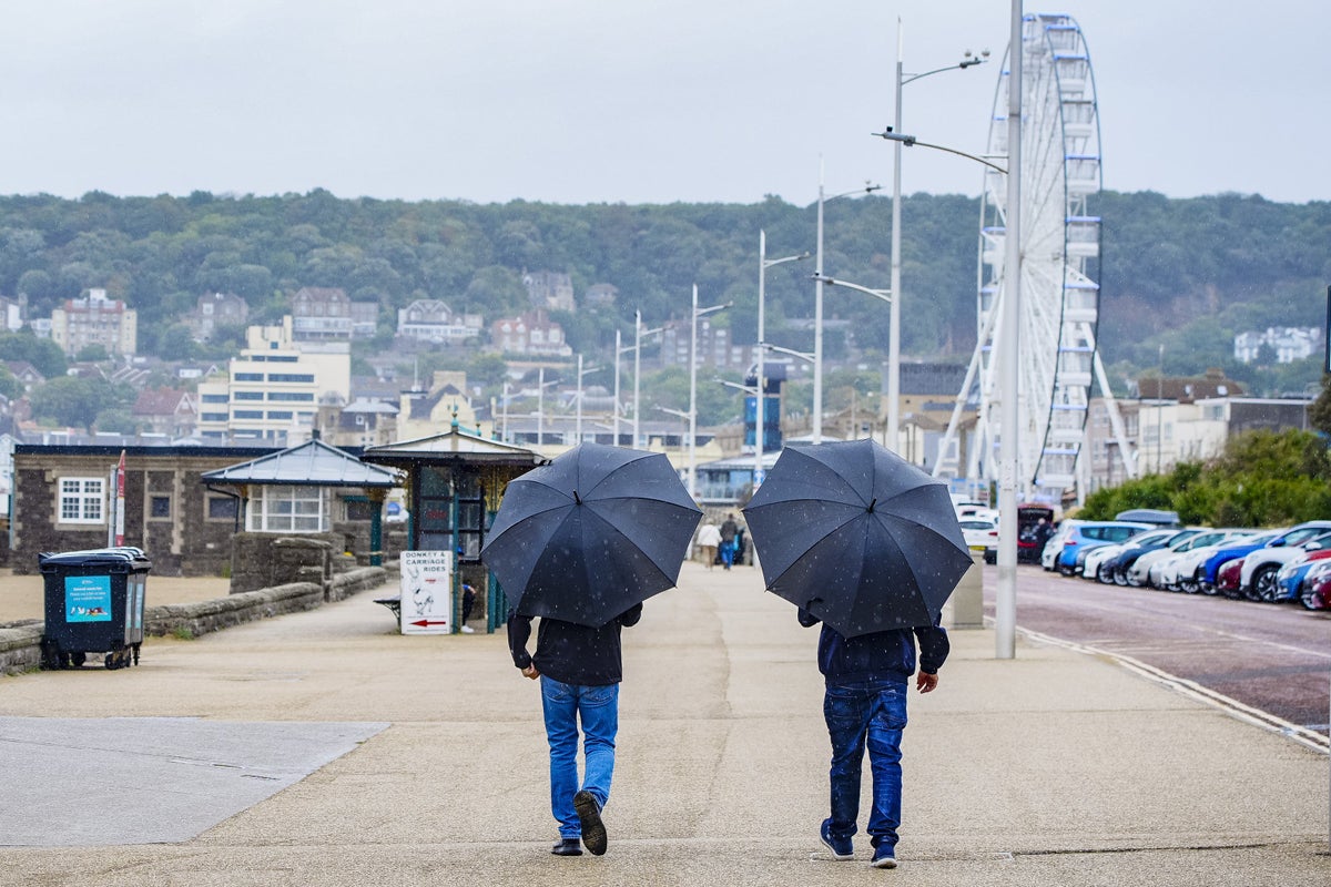
Heavy rain and coastal gales are set to lash parts of the UK on Saturday, kicking off a wet and unsettled week of weather.
Persistent downpours are forecast for the final weekend of meteorological summer, following a deluge on Friday that saw some areas receive more than half a month’s worth of rain in just 11 hours as the UK was hit by the remnants of Hurricane Erin, which struck the US last week.
The unsettled conditions are expected to continue through Sunday and into next week, with longer spells of rain, scattered showers, strong winds, and the risk of thunder in parts of the country. Temperatures will be near average.
In London, temperatures will peak at 21C on Saturday, with sunny intervals giving way to cloud by lunchtime.
Edinburgh could reach 20C, though heavy afternoon rain is likely.
Belfast will see light rain by late morning, while Cardiff will have cloudy skies changing to heavy rain by lunchtime.
Met Office meteorologist Alex Burkill said eastern parts of England are likely to see some sunshine early on Saturday, but a frontal system moving in from the west will bring heavy rain and strong winds later in the day.
“It’s also worth highlighting that there could be some thunder mixed in with this wet weather and it’s also going to add to a slightly fresher feel to things,” he said.
The Met Office reported that this summer would “almost certainly” be the UK’s warmest on record as the mean average temperature for the season stood at 16.13C, based on data up to August 28.
If this season is confirmed as setting a new high for average temperature, it will mean all of the UK’s top five warmest summers will have occurred since the year 2000.
The top five are currently 2018 (15.76C), 2006 (15.75C), 2003 (15.74C), 2022 (15.71C) and 1976 (15.70C).
A Met Office yellow rain warning ended at 12pm on Friday.
Heligan Gardens, Cornwall, received 63mm of rain, 56mm were recorded in Mount Batten, Devon, and 49.9mm in Friar Waddon, Dorset, between 10pm on Thursday and 9am on Friday.
Cornwall’s average rainfall for the whole of August is 92.5mm, Devon’s is 94.2mm, and Dorset’s is 72mm.
Fire crews rescued a family from their flooding home in Torpoint, Cornwall, and the town’s fire station warned of deep flood water on the A374 from Wilcove to Antony.
