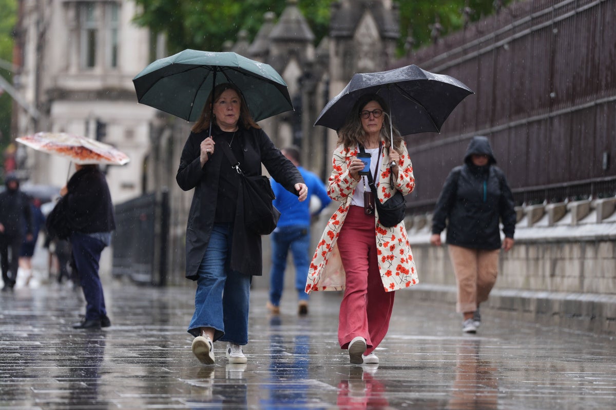
Heavy and persistent showers are forecast during the last weekend of meteorological summer after parts of the UK had more than half a month’s worth of rain in 11 hours.
The heaviest downpours were on England’s southern coast between Thursday night and Friday morning, as the remnants of Hurricane Erin were subsumed into a low pressure system.
Heligan Gardens, Cornwall, received 63mm of rain, 56mm were recorded in Mount Batten, Devon, and 49.9mm in Friar Waddon, Dorset, between 10pm on Thursday and 9am on Friday.
Cornwall’s average rainfall for the whole of August is 92.5mm, Devon’s is 94.2mm, and Dorset’s is 72mm.
Fire crews rescued a family from their flooding home in Torpoint, Cornwall, and the town’s fire station warned of deep flood water on the A374 from Wilcove to Antony.
A landslide blocked the A379 in Modbury, Devon, and fire crews in the county were called to 15 incidents overnight on Thursday, the BBC reported.
A Met Office yellow rain warning ended at 12pm on Friday.
The RAC breakdown service said the rain did not cause widespread issues on the roads, but said further downpours are forecast on Saturday.
Rain and strong winds will push through western parts of the UK during Saturday and the rain is expected to be heavy and persistent, unlike the recent short-lived and intense downpours.
Met Office spokeswoman Nicola Maxey said: “You would expect summer rainfall to be these sort of intense, heavy bursts along with dry periods in between.
“So it’s not unusual to get really heavy downpours in the summer period, where you get high percentage of the month’s rainfall in a short period of time.
“They were quite intense showers, and yes, they were quite heavy, but I’m not sure I call them particularly unusual for the summer months.”
One Environment Agency flood warning was active on Friday because of rising water levels in the rivers Shuttle and Cray in Bexley, south-east London.
“Flooding of roads and low-lying land is possible, property flooding is not expected,” it said.
Saturday will bring 10-20mm of rain quite widely and some western higher ground areas locations could have 30-40mm, Met Office meteorologist Alex Burkill said.
There is a risk of gales in western areas “but even elsewhere it is going to be a pretty blustery day”, he added.
The weather front is moving north-eastwards and eastern areas will become wetter by Saturday evening, he added.
Hail, thunder and lightning could hit western parts of the country on Sunday.
Showers are forecast across most of the country but interspersed with bright, sunny spells.
Ms Maxey said: “There are no plans for warnings as the situation stands at the moment.
“There’s a definite autumnal feel for the last couple of days, but there’s not anything that we’re worrying about.”
RAC spokesman Rod Dennis said: “While yesterday’s rainfall didn’t cause widespread problems on the roads, drivers shouldn’t be fooled as there are further downpours forecast on Saturday.
“This is likely to lead to some difficult driving conditions for many, as the wet spell coincides with a big weekend for families returning home at the end of the summer holidays.
“Drivers must ensure they’re not caught off-guard – our advice is to slow down considerably in the wet and to switch on dipped headlights to help other drivers judge their distance from you.
“Without headlights switched on, a vehicle can be hard to see from behind as the rear tail lights aren’t on.”
The Met Office said this summer would “almost certainly” be the UK’s warmest on record as the mean average temperature for the season stood at 16.13C, based on data up to August 28.
If this season is confirmed as setting a new high for average temperature, it will mean all of the UK’s top five warmest summers will have occurred since the year 2000.
The top five are currently 2018 (15.76C), 2006 (15.75C), 2003 (15.74C), 2022 (15.71C) and 1976 (15.70C).
