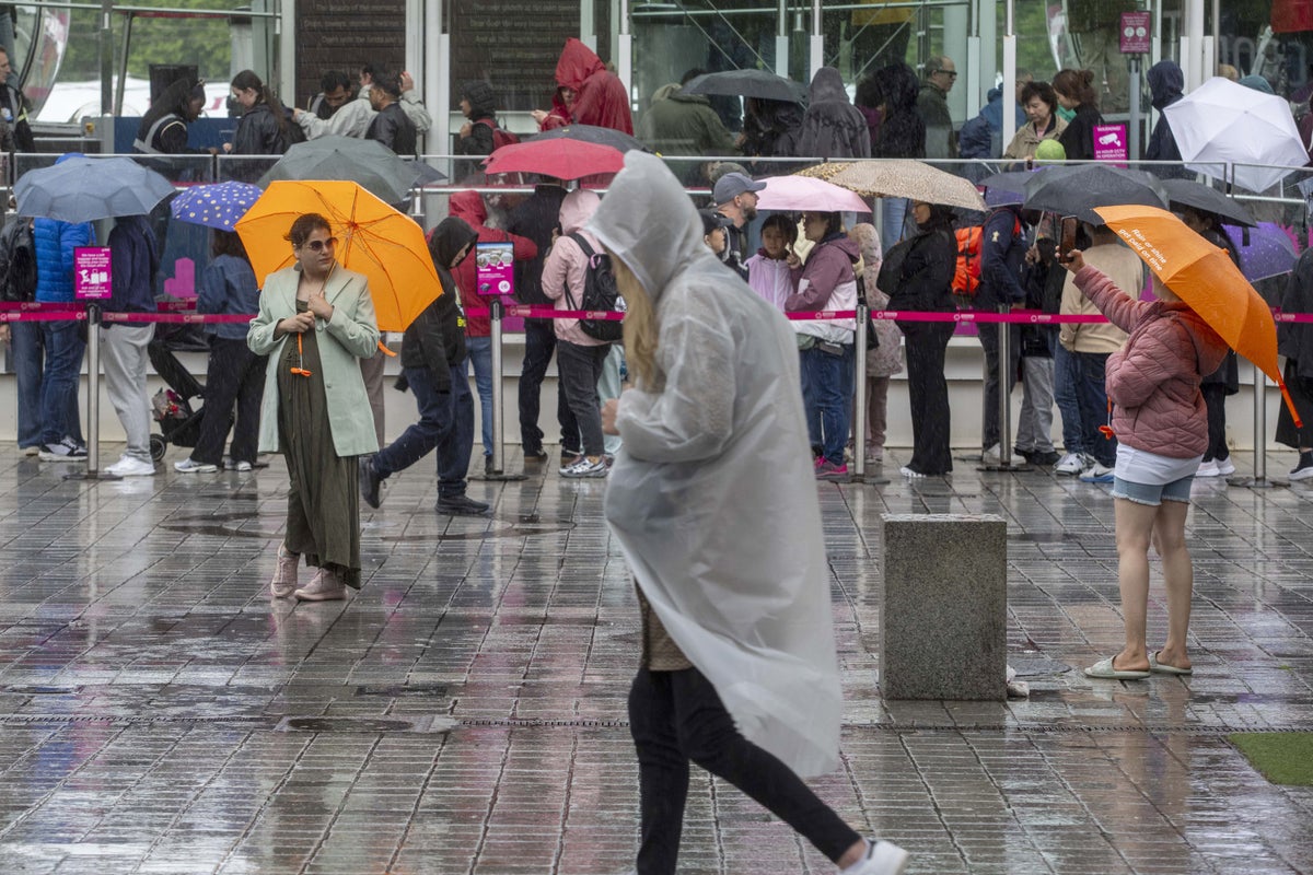
Heavy showers and flooding will mean the end of this year’s summer is a washout.
Yellow weather warnings have been put in place by the Met Office across parts of southern England and Wales from Thursday evening to early afternoon on Friday.
The forecaster warned that 10-20mm of rain could fall in under an hour in some parts, while prolonged heavy showers near the coast could see 50-70mm.
London and the south coast – including Kent, East Sussex, West Sussex, Hampshire, Dorset, Devon and Cornwall – will see showers, with areas of south Wales, including Swansea and Cardiff, also feeling the effects.
According to forecasters, bus and train services will probably be affected – with the flooding of a few homes and businesses likely.
Parts of the south will still see temperatures around 20C, but will face a much wetter conditions.
Colder weather is expected across the UK throughout September, with low pressure systems tending to dominate the overall pattern.
“This will mean showers or longer spells of rain will affect the majority of the UK at times. Some heavy rain or showers are expected in places, most often in the west,” according to the Met Office.
On Tuesday, the Met Office said this summer would “almost certainly” be the UK’s warmest on record as the mean average temperature for the season stood at 16.13C, based on data up to August 25.
If this season is confirmed as setting a new high for average temperature, it will mean all of the UK’s top five warmest summers will have occurred since the year 2000.
The top five are currently 2018 (15.76C), 2006 (15.75C), 2003 (15.74C), 2022 (15.71C) and 1976 (15.70C).
