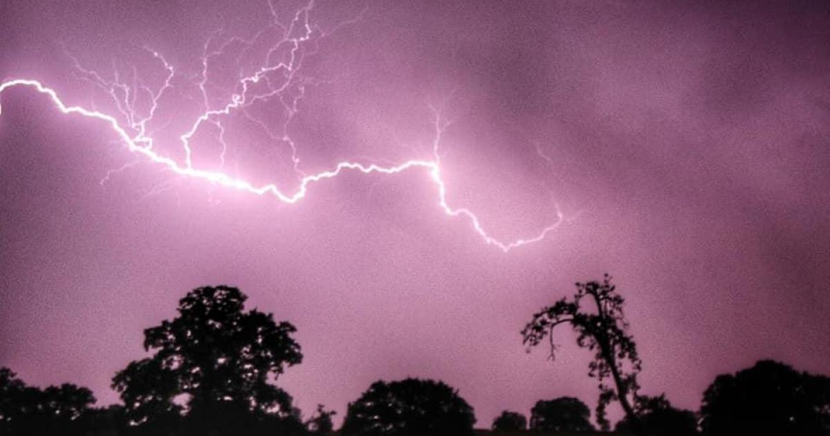
Scattered thunderstorms are expected to develop during the afternoon and could bring intense rainfall, lightning, hail and strong winds across the capital.
Rainfall totals could reach between 20 and 30 millimetres in less than an hour, with some isolated areas seeing as much as 40 to 50 millimetres within one to two hours where thunderstorms become more intense.
Temperatures on Monday are expected to reach 25°C despite the showers and the warning is in place from 12pm until 10pm.
Spray and sudden flooding could make driving conditions difficult, with a chance of some roads being closed.
There is also a possibility of delays and cancellations to train and bus services.
Power cuts may also be seen in some areas, and other services to homes and businesses could be affected.
There is a small chance that homes and buildings could be flooded quickly, with damage caused by floodwater, lightning, hail or strong winds.
The Met Office recommends checking whether your property is at risk of flash flooding and preparing an emergency flood kit.
Drivers and commuters should check travel conditions and timetables in advance and consider amending plans if needed.
The Met Office is encouraging people to stay up to date with the latest forecasts throughout the day.
